Detect the structures that control orebody continuity, ground behaviour and excavation stability — safely, consistently, at scale.
Trained on your site imagery and your geologists' standards.
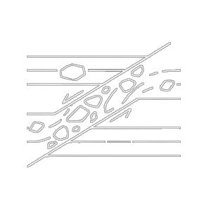
Mapping deformation intensity and and structural discontinuities to quantify strain and identify fault systems.
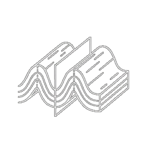
Characterising fold geometry, orientation, and fabric intensity to inrerpret tectonic history.
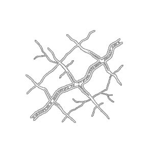
Analysing orientation, density, and distriubtion of brittle structures and fluid pathways.
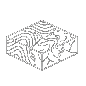
automated boundary detection for integrated litho-structural models and 3D geological interpretation.
A four-stage engagement designed to deliver value fast and scale with confidence.
Work with your geologists to define the structural features and logging standards that matter to your project.
Our AI is trained on your core photographs using your site-specific standards and geological context.
Receive structured CSV interval logs on a monthly cadence, ready to import into your modelling platform.
Subject matter expert review covers less than 5% of output over time, ensuring quality as you scale.
One setup fee. Included first month. Then pay only for what you process.
You own your content. All annotations, and every data output belongs to you. GeoAugment retains no rights to your site data.
GeoAugment extracts them — safely, consistently, at a fraction of the cost of manual logging.
Contact Us